
Purulia splits into a few distinct pockets — hill ranges, a lake-and-heritage circuit, and the town itself. Pick a region below to see every waterfall, dam, viewpoint and ruin mapped inside it.
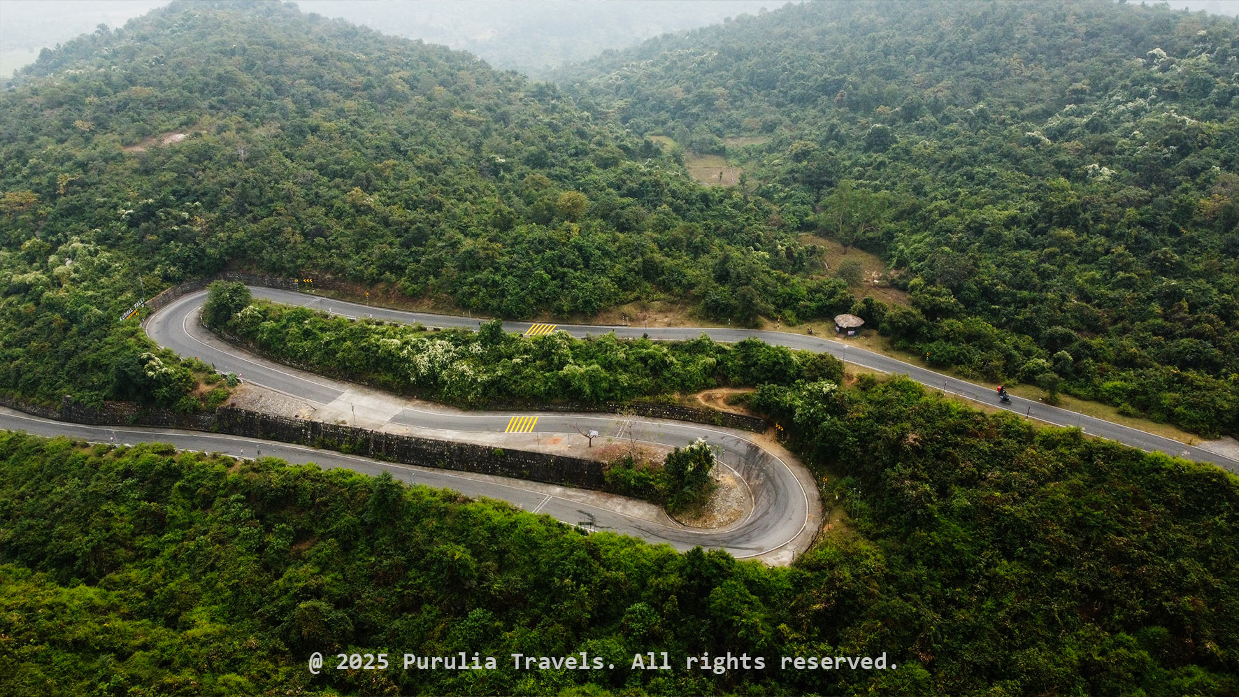 19 locations
Purulia's largest hill range — waterfalls, dams, forest roads and hill-top sunset points spread across two sides: the well-known Bamni Falls / Marble Lake route, and the quieter Murguma side around Suicide Point.
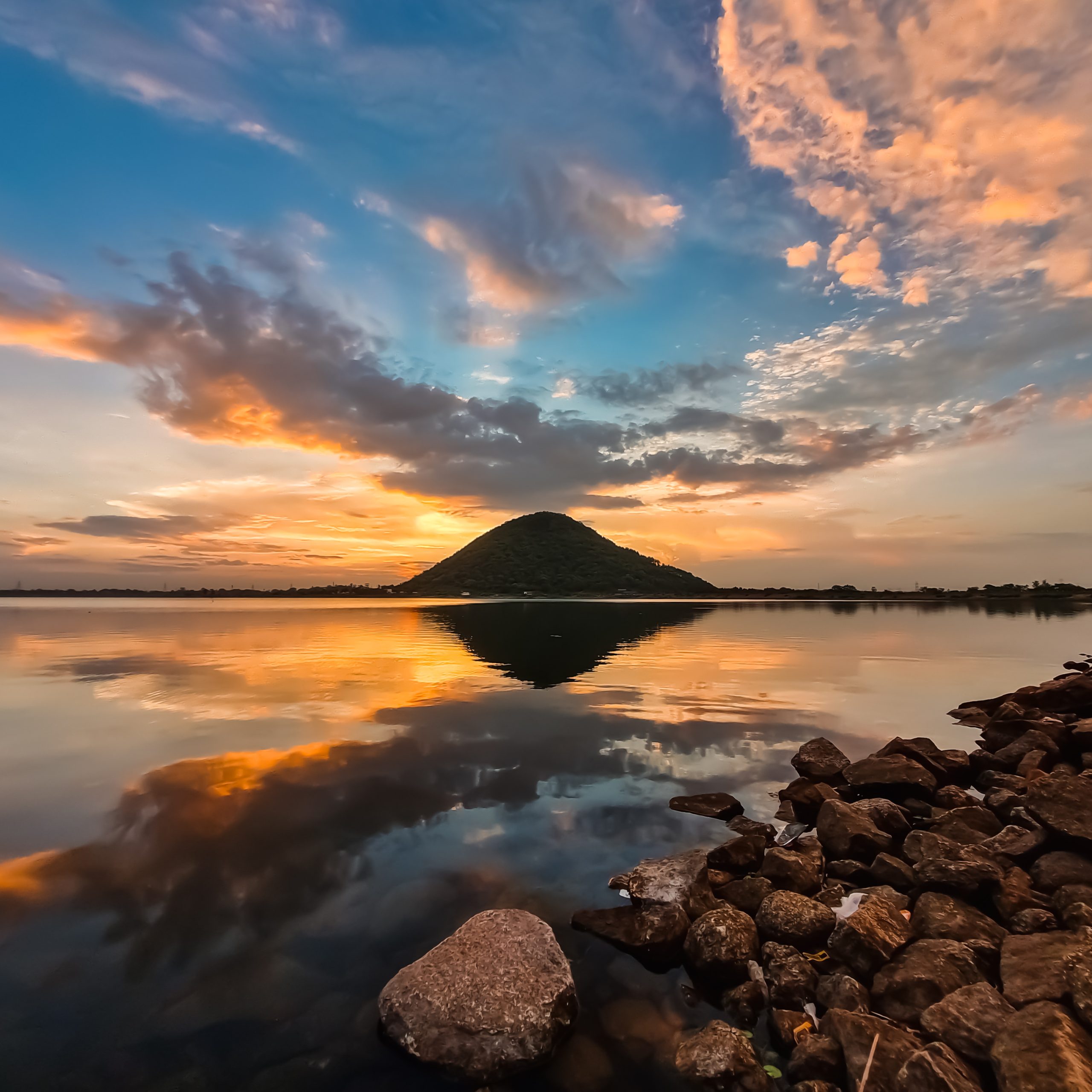 4 locations
A lake-and-heritage loop built around Baranti Lake, with the Joychandi Pahar rock formation, the Garh Panchkot hill fort and the submerged Telkupi temple ruins all within easy reach of each other.
 5 locations
Sites in and around Purulia town itself — the water tank at Saheb Bandh, a quiet forest patch at Rakab, twin dams at Futiyari and Patloi, and the heritage Kashipur Rajbari.